In need of a new objective? You are starting to feel comfortable using trad gear at the crag? Want to start transferring those skills in the mountains?
Well, look no further! Uto Peak is a great scrambling and mountaineering objective to become the experienced mountaineer you always dreamt of. Uto peak was first climbed in 1890 by Emil Huber and Carl Sulzer.
3 TRU students attending the adventure guide diploma did tackle that objective and they will show you how they did it and how to prepare for it! From what skills you need, what kind of equipment, what research you need to do before heading out and all the information you need to know about the mountain.
- SKILLS AND EQUIPEMENT
Like mentioned before, this mountain needs to be tackled with the proper skills to summit the mountain safely. You need to be comfortable placing trad gear and being exposed on the mountain. While the South-West route is not technical climbing per say, it is recommended to be comfortable climbing 5.7 Trad routes and have some experience with multi-pitching, rappelling, and making improvised rappel stations. This goes without saying, but physical form is an important factor if you are planning on doing this trip in a single day, as there is a 5km and 1000m elevation approach trail to do just to get to the Sir Donald Backcountry campground. Route finding is an important skill you will developpe on this mountain, choose the path of least resistance and stay on the South-West ridge.
- A single trad rack with nuts is plenty enough to tackle the mountain since the parts where you will want to rope up are short (maximum 20m pitches). We did bring a full rack making our packs heavier then needed.
- A 50m rope is perfect to tackle the mountain, as mentioned before you will not be doing any pitches that are more than 20m with a rope. As there was 3 of us climbing the mountain, two ropes were needed.
- For hardware gear you will need, at least 4 alpine slings, atc guide device, anchor kits, helmet, and harness. All the gear you will usually bring up a multi-pitch.
- A 32L backpack was plenty of enough to climb up the mountain as you will only be putting your approach shoes (if needed), water bottle, and lunch up the mountain.
- Brining nylon slings is always a great idea; they are inexpensive and are very useful to leave on the mountain in case you must rappel and leave them behind. They are several rappel stations on the mountain where other climbers left some gear. Note that before using gear left on the mountain you must fully inspect it making sure it is safe to use.
- Proper attire goes without saying, you should always be ready for changing conditions on the mountain, since you will be at 3000m of elevation once you reach the top. Extra layers, waterproof jacket, and rain pants are a must. While you do not want to be scrambling on wet rock, if you ever need to backtrack due to weather it always good to be prepared.
- This mountain can be easily climbed with mountaineering boots, this will make you pack lighter as you won’t need to be carrying your approach shoes during the climb. Opting for climbing shoes is not a bad idea, but make sure they are comfortable enough to be wearing them for at least 3 hours.
- If you are camping at the base of Uto and Sir Donald peak, your standard backcountry camping gear will be enough, as you will be doing a loop and will pass back by Sir Donald Backcountry campground on you way back to the car.
This peak does not require in specific gear, just the standard gear for any mountaineering climb.
- ITINERARY
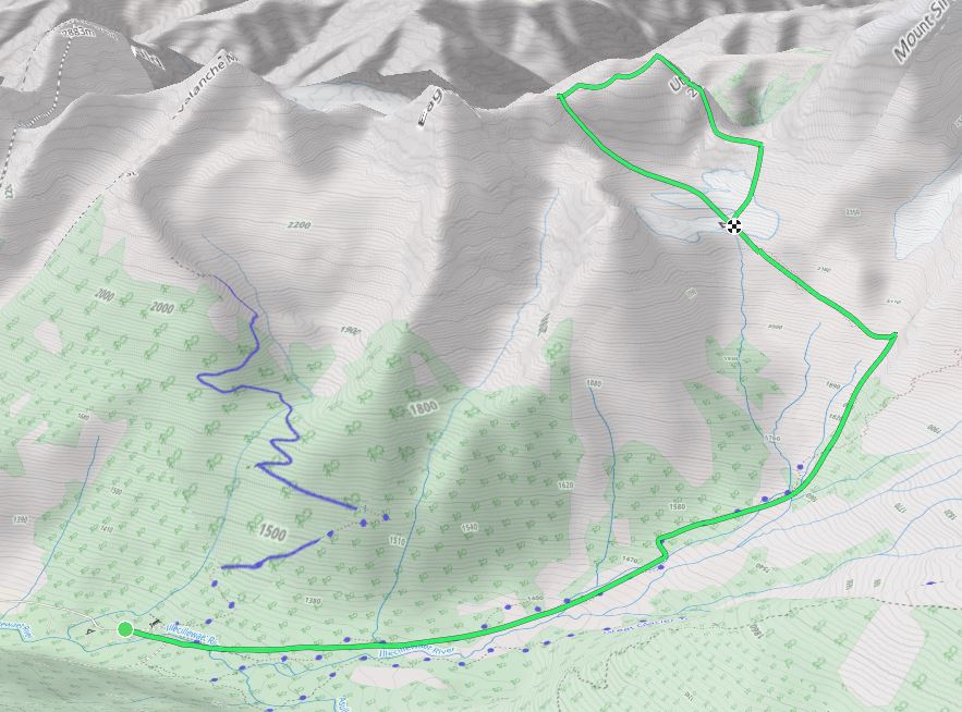
Glacier National Park is situated between Golden and Revelstoke on the Trans Canadian Highway. This part of the highway is known to be dangerous due to mountain conditions changing very fast. Drive with cautious since several accidents occurs there every year.
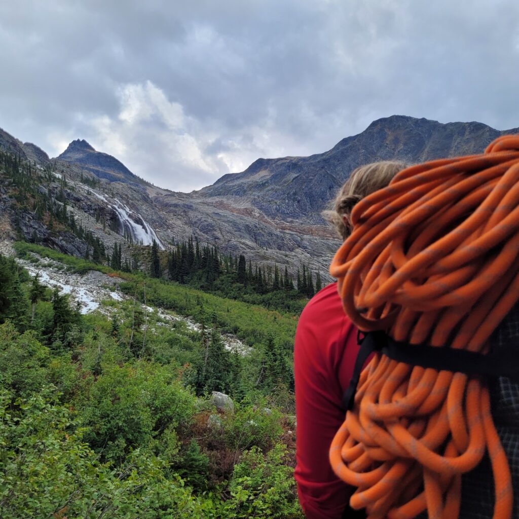
You will have to leave your car at the Illecillewaet campground. Walk up the Mont Sir Donald Trail. It is a 5km trail with 1000 m of elevation taking about 2 to 3 hours hike to reach the Mont Sir Donald Campground. You will pass many small bridges and have nice view of the bottom of the Illecillewaet Glacier with its many Waterfalls
V
Laury
Once you crossed the Vaux Glacier stream, the uphill battle starts. You will then have to cross that stream again just above the tree line to continue the trail to Mt Sir Donald Backcountry Campground. The campground has a dry bathroom, bear proof locker, a small stream passing though it for water, and designated soft surface to pitch your tent on.
Gilian (right) Ana(left)
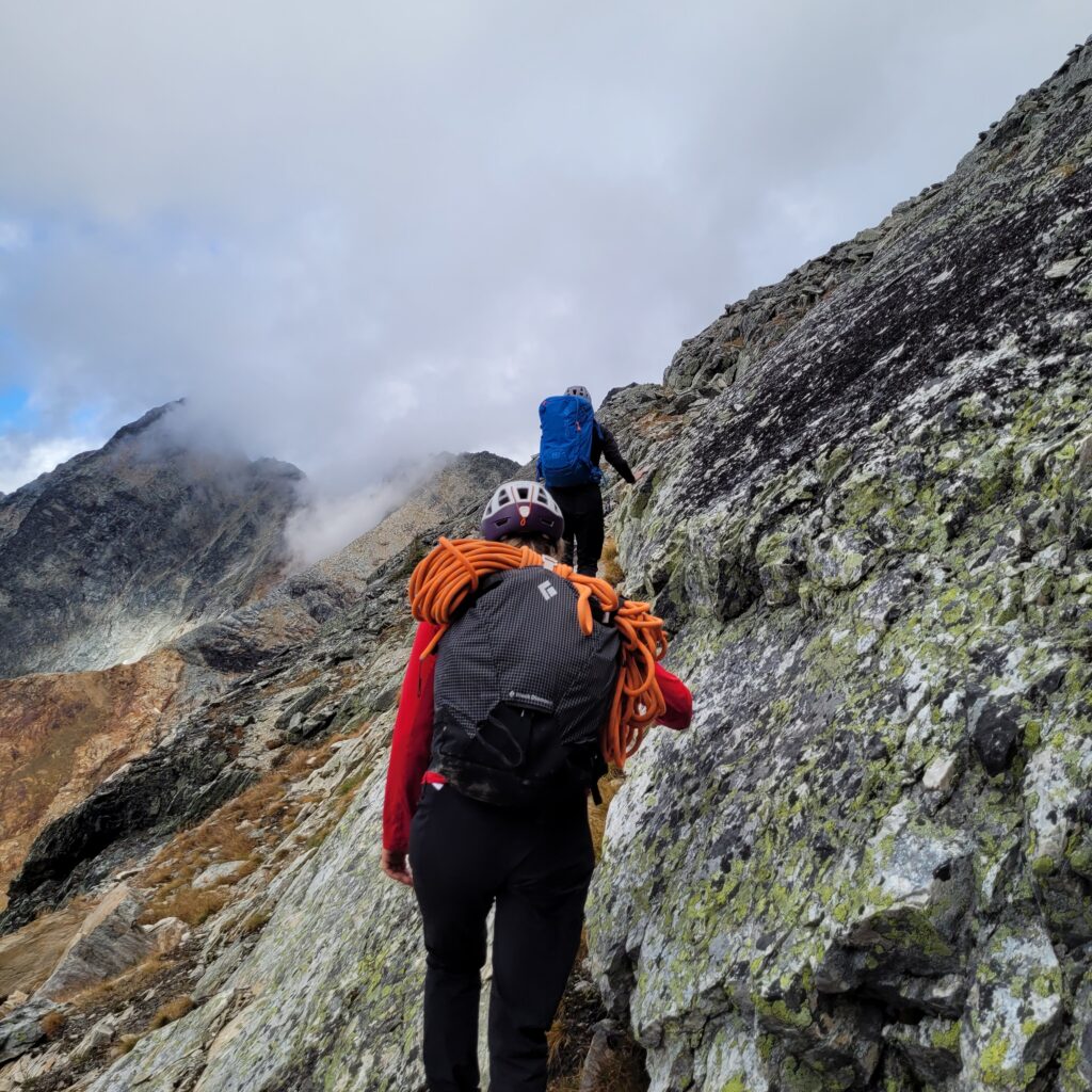
Ana and Laury
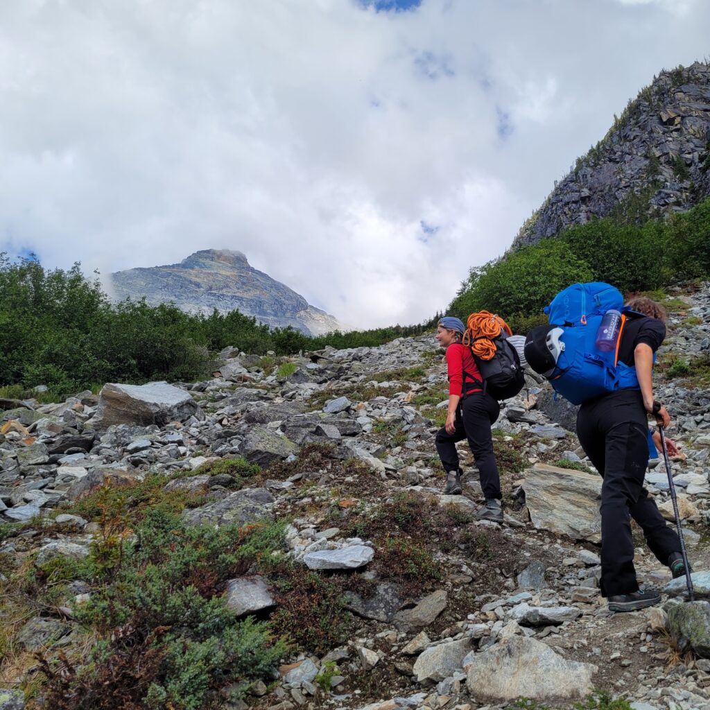
Laury (left) Ana (right)
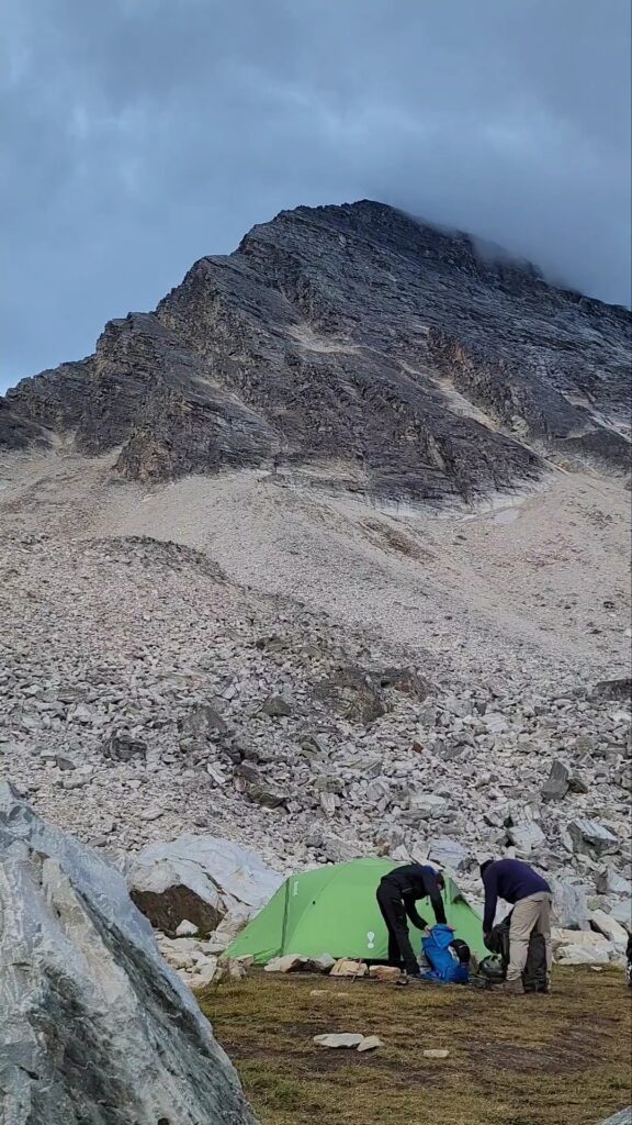
From there you can leave your gear in the bear proof locker for the ascent of Uto Peak, since you will pass back though the campground on your way back to the car. Make your way up to the Sir Donald/Uto col by hiking up loose rocks and walk along the base of Mt Sir Donald. Once you reached the col, there will be another campground, which I do not recommend. There is not a lot of space for more than a bivy tent, and cols are very windy which would not make a peaceful night of sleeping. This campground is better for summiting Mt Sir Donald.
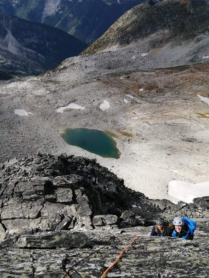
Gilian (left) Ana (Right)
Once you will start climbing the South-West Ridge, switch to climbing shoes since you will encounter your first small pitch where it is recommended to rope up. While climbing along the ridge look ahead to make sure you are staying on the path, remember to choose the path of least resistance and rope up when the exposure is too extreme. If the climbing gets to hard, back track and search for an easier path. There is in total 3 easy 5.4 rock climbing pitches where we felt that we needed to rope up. The last section is an easy class 4 scrambling to the top.
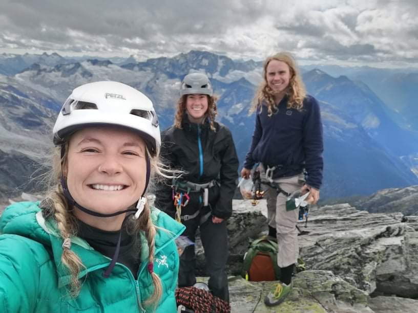
Once you reached the top enjoy the view and you can then make your way along the north ridge to eagle pass col, there is a rappel anchor 50 m north of the summit where you can rappel down instead of exposing yourself to exposed downclimbing. Continue down climbing along the North Ridge, until you reach the Eagle pass col. Do not descend the couloir of the col as it is a dead end, continue climbing along the ridge until you reach a more obvious path down the mountain to reach the path of snow down of the base of Uto. From there you can then pass back to the campground and join the trail back to the car.
- KNOW BEFORE YOU GO
If you are planning on sleeping overnight in the park you will have to pay an overnight access fee at Illecillewaet campground front desk. Once paid, they will give you a receipt to leave on the dashboard of your car and a permit you will require to keep with you if you cross path with a park ranger. If you are only planning of doing the peak in a day trip, you will only need the Canadian National Park pass. The overnight camping fee is 10$/person, and the national Park pass is 10$/person/day. Since we were driving from Kamloops it costs us about 80$ worth of gas for the round trip with a car at 10l/100km at a gas price at 1.5$/l. This trip should cost less than 100$ per person if you already have the gear needed for the climb.
Finally, this scrambling and climbing route is a very good introduction to make your way up mountains that may seem inaccessible at first glance. If you ever want to climb Mt Sir Donald, Uto peak is a good practice, as they are very similar in terms of climbing and exposure. Remember to make your own research about the weather beforehand, spot.com is a good resource to look at different weather reports of different weather stations. Be aware of the hazard you can encounter in the mountain, like rock fall, change of weather and exposure.
They are several mountaineering Facebook groups you can join to look at the conditions beforehand. Asking the front desk of Illecillewaet campground about the conditions up there is always valuable information.
Is there other parties attempting the peak the same day as you? This is good information as you don’t want to be climbing under a party that may create rockfall. Be safe in the mountains and don’t be afraid to turn back.
All picture were taken by Gilian Puchois and Laury Grenier
